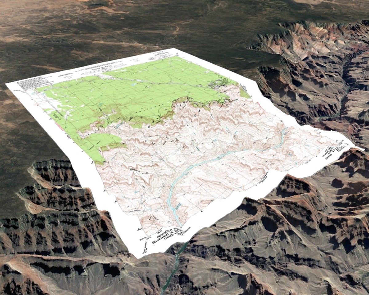
Google Earth overlays is a very useful tool to research an area before heading out to detect on it.
This system works with a KML file, using Google Earth Pro's image overlay feature, placing the map containing data over the base landscape and adjusting the opacity of the overlay to study the information.
Data that can help you in your research if an area is worth metal detecting:
- The history of the region.
- Who the inhabitants were.
- Why people chose to settle there.
- Evaluating if and how accessible an area is.
- If any mining activities took place.
- If there was farming and what type.
- What the soil condition is like.
- The size of areas worth searching.
- The distance between land worth scouting.
Nexus Metal Detectors
